Many of us enjoy getting outdoors and leaving our screens behind, so it seems a bit strange to be writing a blog post about phone apps and how useful our phones are out in the hills. However, whilst I’m all for a break from instagram doom-scrolling, phones do have other handy functions that help us to look after ourselves and enable us to learn more about nature whilst out and about.
Here are a few essential apps (and some non-essential but still really good ones) that are handy to have on your phone when out on the hill.
OS Locate
OS locate gives you a grid reference for your exact location and you don’t need phone signal (just location switched on) to make it work. This makes it an invaluable safety tool when out on the hill. If you are lost you can use the grid reference to relocate on your map, and if you do have to call Mountain Rescue you will be able to give them your exact location. It’s also free, so there’s no reason not to have it!
You may have heard of What3Words, which gives every 3 metre square its own identifier (EXAMPLE). The downside of this is that similar sounding words can be hard to distinguish (especially on a low signal phonecall), the rescue team might think you are at cheap.ticket.pee rather than sheep.ticket.bee (which could be very far away!).
Mapping apps
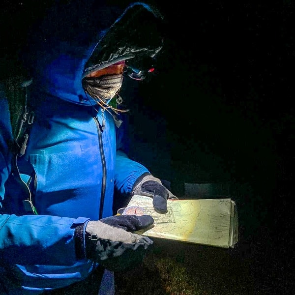
People will often disclose (with a little shame) at the start of their navigation course that they ‘cheat’ and use OS maps or another mapping app to navigate. So let’s get one thing straight: having a GPS app on your phone is not cheating, the technology is there so we might as well use it. However we will stress that it makes a good back up to your map: you will also benefit from knowing how to use a map and compass should your phone technology fail. (Having fallen in many a bog with my phone in my trouser pocket, this is not as improbable as we think it is).
There are many brilliant mapping apps out there, but most of our team use OSmaps. This gives you access to all of the OS maps for the UK.
Whilst I rarely actively use mapping apps to navigate, they are great as a backup and for zooming in features that are difficult to see (for those of you who need you reading glasses on for the map).
Weather Apps
- Windy
- MetOffice
There are a great many weather apps out there, and I’m sure we can all disagree for hours on which one is the most accurate! I use the MetOffice app because it is updated every hour and I can look for the weather at the summits as well as in valley bases. The only drawback is that it doesn’t have specialist forecasts, you have to go on the MetOffice website for those.
Generally you want an app that tells about temperature, wind, precipitation and visibility as those will effect you on the hill. If you’re not sure what all the numbers mean, mountain forecasts (like those on MWIS and MetOffice) will give you an idea of what they mean in real terms (ie. what does 30mph wind actually feel like?!).
If you’re a visual learner and keen to understand more about how weather moves around the world or country, try Windy. It’s aimed at outdoor leisure and watersports, so includes tide times, moon phases, wave height and direction.
Nature Apps
Gone are the days of carrying a physical pocket ID book around with you all the time, as they now exist in digital form on your phone. There are many apps out there but here are a few that have really stuck out.
Merlin is brilliant for identifying birds. What makes it special is that you can record birdsong and it will identify the birds that you’re hearing, indicating which call belongs to which. You can download area packages so that it only identifies what you are likely to be hearing in your local area. It was not even fooled by our instructor team’s birdsong, which we had thought very convincing but was not registered by the app.
- iNaturalist
- PictureThis
iNaturalist and PictureThis are both excellent for identifying and learning more about fauna and flora. I tend to take photos of unknown plants throughout the day and then put them through the app at the end so that I can commit them to memory.
Access and information

BMC RAD
BMC RAD (AKA the Regional Access Database) has up to date access information about crags across the UK. By access, we mean whether or not you can go to the crag and if there are any restrictions. This is particularly useful around this time of year (Spring/Summer) as a lot of the crags we visit are also quite popular amongst nesting birds and restrictions are in place to protect them. In some areas restrictions are in place to create a harmonious relatinship between landowners and climbers (so that we can keep climbing there), by checking out RAD we help to maintain access to these spots.
Have you got any favourites to add to the list? If so, please do share them and we’ll add them to our next inspiration newsletter.
Hati
Beyond the Edge Ltd is based in the Peak District, easily reached by train from London and within easy travelling distance from Sheffield, Manchester, Leeds, Nottingham and other Northern towns and cities.
We are one of the UKs most experienced providers of climbing, walking, scrambling, mountaineering and navigation training courses.
Most of our courses are run in the Peak District National Park which has some of the finest rock climbing, bouldering, walking and hiking in the world.

