
Sure, smartphones and GPS have altered the way we navigate the hill and mountains, but we reckon a physical map, a compass and your brain are still the most useful navigation tools there are. Hati discusses why…
As my family will happily tell you, my hillwalking career didn’t get off to the best start…
Early childhood memories are mostly of hitchhiking back from the Goyt Valley after seemingly endless trudging in search of the elusive right path. Things didn’t get much better when I struck out on my own, with an overreliance on knowing the area that doesn’t much help when the fog closes in on Kinder or you head further afield. At some point, getting lost all the time became deflating and inconvenient… So I decided to learn to navigate and it has been one of the most empowering and enriching decisions I have made.
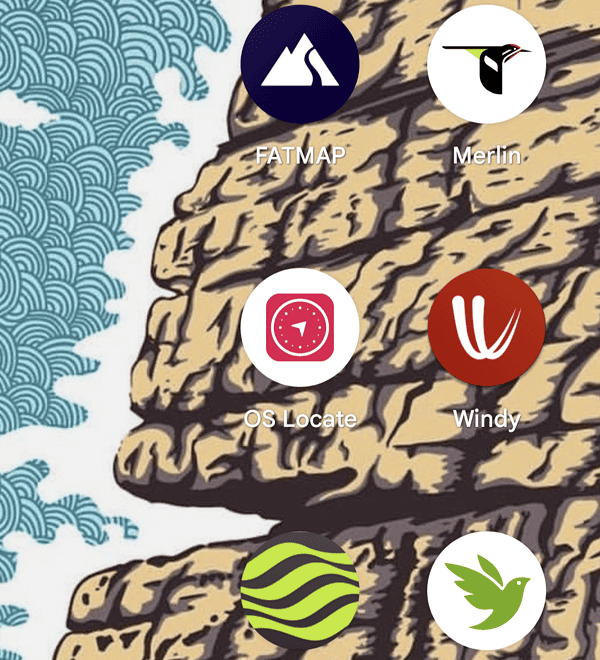
That said… This was all before the OS maps app before you had a smartphone to tell you where to go all the time. Now that you have technology at your disposal why bother learning to use a map and compass at all?
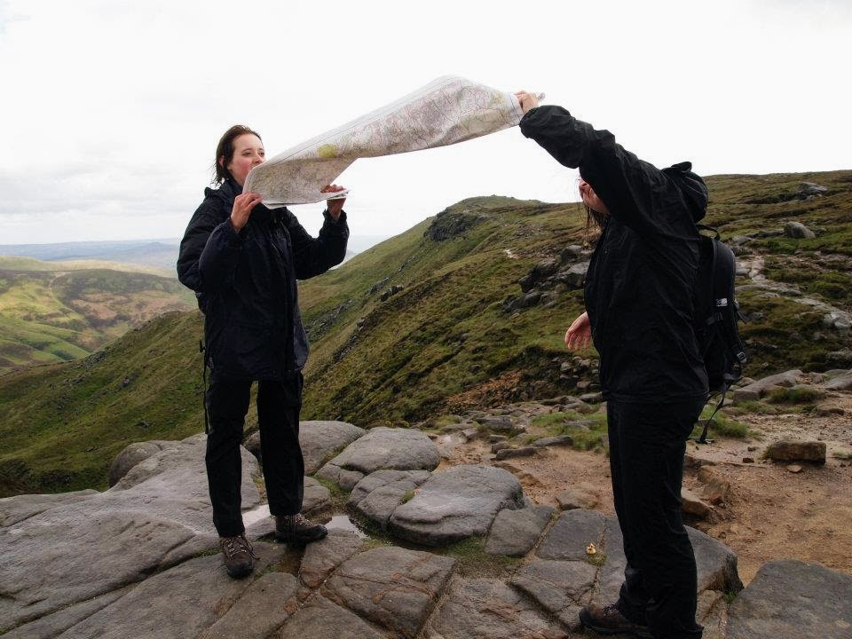
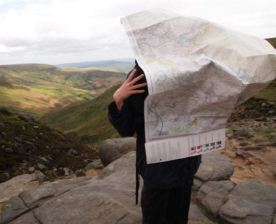
A teenage Hati and her sister completing map-folding 101 on Kinder Scout
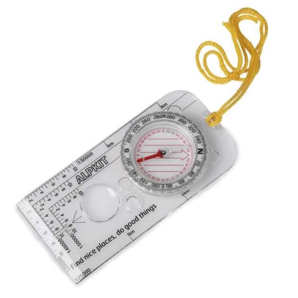
A map is more reliable than a phone
Phones don’t work so well when wet, damaged, out of battery or signal… A physical map doesn’t have a battery life or require signal, and the laminated ones keep working in the rain too. By learning to navigate with a physical map, you will reduce your reliance on a phone or GPS so that you feel safe an confident without them.
Plan your own routes
Guide books, route cards and websites are fab for inspiration, but there is a certain liberation in planning your own walks.
Not only will you be able to plan routes, but you’ll be able to adapt them to make your day as fulfilling and enjoyable as it can be with the weather, time and motivation available. On our courses we advocate making multiple plans rather than commiting to one, with various ‘decision points’ to check in along the way. As such you get into the habit of making considered judgements and avoid falling into heuristic traps when out walking.
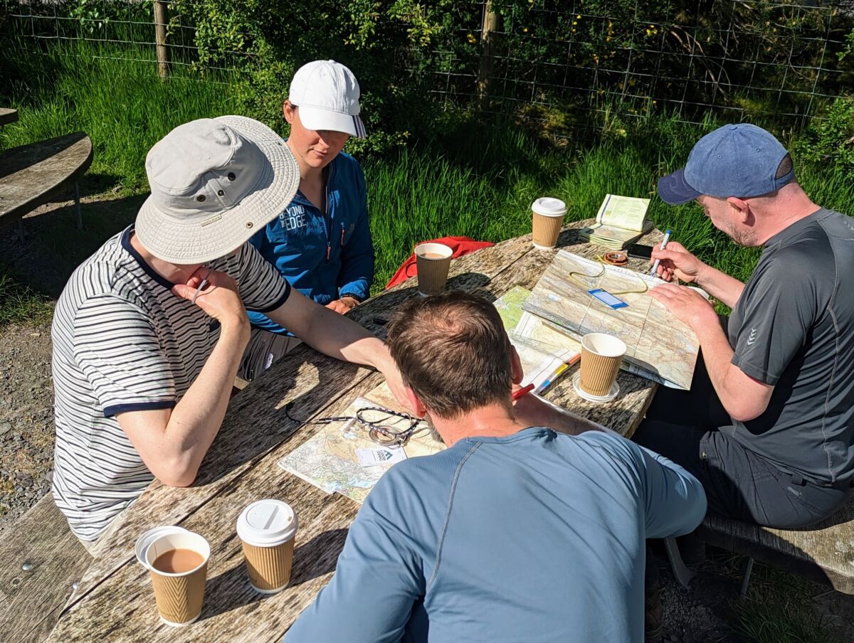
Claire and co planning their route up throuugh Devil’s Kitchen and down to Capel Curig from Ogwen Cottage
Leave the beaten track
What I really loved about learning to interpret contour lines and use a compass was that I was no longer path dependent, all of a sudden I could walk along a ridgeline or handrail a boundary across open moorland where there was no path marked on the map. Often, if others had made the same navigating decision ahead of me, there would be a path on the ground nonetheless.
Sometimes paths that are marked on the map no longer exist in the real world (for example, they have not been regularly trodden). Having the skills to navigate these situations is very reassuring.
Train your brain!
There are multiple studies on the relationship between actively navigating and your spatial skills. The hippocampus is the part of our brain that is in part responsible for spatial navigation and memory, much like a muscle it grows as it is used and shrinks when it isn’t. Using GPS/phones to navigate allows our hippocampus to atrophy, but by navigating actively we can actually improve our memory and spatial orientation. Read this article by Harveys to learn more.
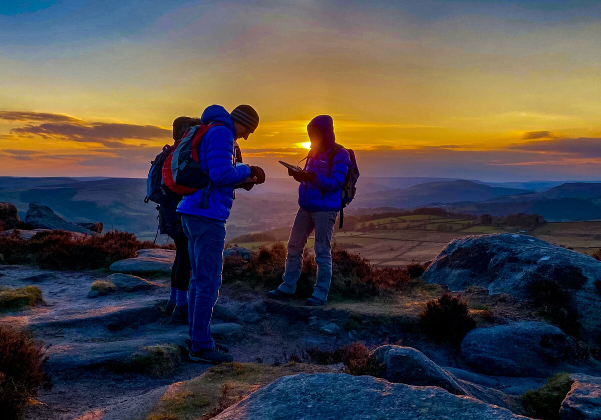
Sunset on the hill can only mean one thing… Night navigation!
Your walks will flow better
The fundamentals of navigation include planning each ‘leg’ thoroughly so that you can avoid the stop-start-stop-start of looking at your map every time you come to a fork in the path. Over time you will build your endurance with this skill (see above about the hippocampus) so that you can lead longer legs of flowing navigation, happy in the knowledge that you’re going in the right direction (and able to identify when you’re not!)
It’s fun to learn something new
Why not? After all! Learning new things is fun, and why not learn a new thing with all the above perks?
So sure, phones and GPS are great back up tools for heading out on the hill… but learning to navigate with a map and compass can only improve your time out on the hill. You can learn more about our navigation courses here.
Hati
Beyond the Edge Ltd is based in the Peak District, easily reached by train from London and within easy travelling distance from Sheffield, Manchester, Leeds, Nottingham and other Northern towns and cities.
We are one of the UKs most experienced providers of climbing, walking, scrambling, mountaineering and navigation training courses. Most of our courses are run in the Peak District National Park which has some of the finest rock climbing, bouldering, walking and hiking in the world.